|
<Back
Bike Downtown From Canterbury Green Apartments ...
By Taking the Rivergreenway
Canterbury Green has existed for years, and we tend to take itís existence for granted. In fact, if youíve lived in Fort Wayne all your life, but never lived at Canterbury, itís possible you donít know what the property looks like, other than what you see from St. Joe Road.
The apartment complex is one of the largest of itís kind in the United States, with close to
2,000 living spaces housing almost 5,000 people. Thatís the population of many small towns. Look at City-Data.com to find towns in Indiana with populations under 5000. ( When you visit that site, be sure to click on the drop-down menu and choose smaller cities or very small towns and villages.)
Here is a random view of some of the apartments.

See more photos of Canterbury Green here. How many apartment properties look this nice?
Taking the Bike Path from Canterbury and IPFW (Indiana /Purdue University)
After the paved bike path was extended on North Anthony Blvd. to run under Coliseum Blvd. and snake along the river that borders the college campus, then around next to the southern part of Canterbury Green, it became possible for a cyclist to bike downtown without much interaction with automotive traffic. You can leave the streets of Canterbury by going between buildings on the south end of the complex, then taking the path to the right along the river until youíre ďunderĒ the bridge at Coliseum Blvd.
Hereís the approach to the Coliseum Bridge:

After going under the bridge, the next photo shows where you will loop around to the left and ride back up toward the busy traffic of Coliseum Blvd. Donít go straight ahead on that ramp you see in the photo. ( Or youíll find yourself off course unless you know the city well.)

So, after looping around this corner and riding up to Coliseum Blvd., you can turn left and cross the bridge protected from traffic by a barrier as seen in the next picture:

Your view from the bridge: the bike path where you were a few minutes ago.

After the bridge, the path turns left. Take it along the other side of the river. However, the street beside the path ( the famous Harry Baals Drive) has almost no traffic. So, when the path ends shortly, take the street past the Johnny Appleseed Campground and the two Turnerís softball fields:


From the Johnny Appleseed Campground itís only a short ride down the street to the
Turnerís softball fields where local teams play almost every night during the summer.

After the softball fields, youíll see the bike path continuing on the left where it passes under the Parnell Ave. bridge.

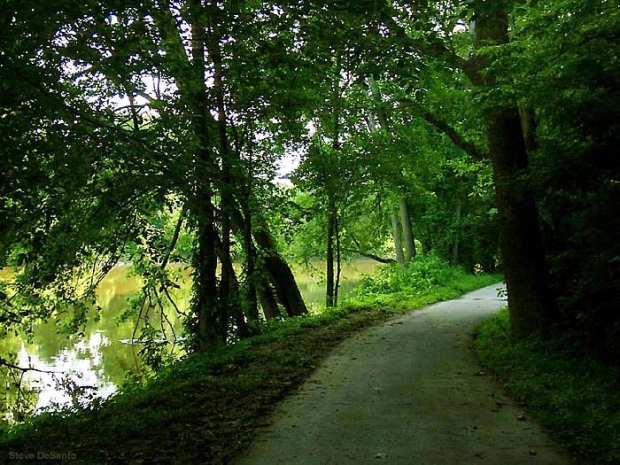
The following photos show the path continuing beside the river and a small woods that brings you out on Spy Run Ave. heading south toward the city center.


This is the end of my photo tour for now. No, it doesnít guide you all the way downtown.
But here is an online PDF Map of The Rivergreenway and the streets of Fort Wayne provided by the Parks Department to help you get there and many other places. Remember to click on the button beside the box at the top of that map to enlarge the text for easy reading.
I hope to add more photos to this segment as a guide, but I originally launched this site only to expose people to the Greenway scenery. Thatís the reason for the random nature of the pictures you find on the main Picture Gallery Page.
Did you see these other photos of Canterbury Green?
< Biking Anxieties, Fears, Aches & Pains
< Homepage
|